Californian and other states wildfires activity - up dated with Moody's and RMS latest estimates
Atypical weather patterns causing record temperatures and dry conditions have led to an extraordinary number of wildfires across the US particularly on the west coast in California, Colorado, Oregon and Washington states.
As at 20 September some 6.9m acres have been burned this year in 12 US States whereas over 8.4m burned in 2017.
Around 80 active large fires ongoing nationwide. Rapid spread of fires in Washington, Oregon and California reported. See Mapbox website for graphics of the extent.
AIR Verisk's report available here sets the background to the regular extensive scope of the fires:
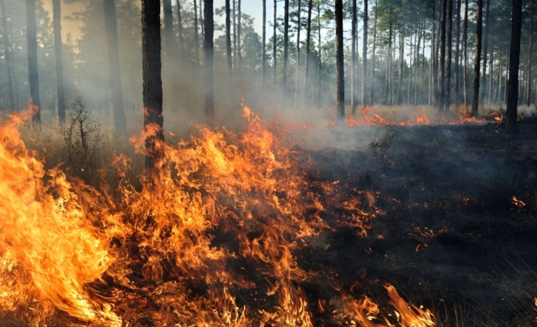
"The western United States in general has several characteristics that make it particularly prone to wildfires. The region usually receives sufficient precipitation to support vegetation growth, but also experiences extended warm, dry seasons. This pattern provides an ample growing season to accumulate fuels and then dries them out.
In addition, the various mountain ranges produce strong wind patterns. These sustained winds help wildfires develop and spread. Finally, populated areas in this part of the country are commonly separated by vast wildlands. Large forested areas and grasslands occupy the wildlands, serving as huge fuel supplies. The distances between developed areas allow wildfires to become quite large before they are reported or suppressed.
The western United States in general has several characteristics that make it particularly prone to wildfires. The region usually receives sufficient precipitation to support vegetation growth, but also experiences extended warm, dry seasons. This pattern provides an ample growing season to accumulate fuels and then dries them out.
Live reporting of fires: The California Department of Forestry and Fire Protection ("Cal Fire") website has a useful map showing the current outbreaks - click here and another map of the main fires in the USA is with a complete listing with daily statistics of acreage, % contained and location is available here from the National Interagency Fire Center. or see Northwest Interagency Coordination Center ("NWCC") for detail of each of Oregon, Washington fires.
Principal Californian wildfires - 20 September
In total some 3.472m acres have been affected in California alone according to Cal Fire and approx. 6,847 structures burned. California measures 105m acres.
North California
Fires here were caused originally by an unusual mass of lightning strikes occurring (up to 14,000) during thunderstorms caused by more tropical moisture in the atmosphere. The number of fires since mid-August has reached 7,700 throughout California alone. Tropical storm "Fausto" in particular generated massive thunderstorms across a large portion of Northern California with almost 11,000 lightning strikes. The lightning from these storms sparked fires across the state, several of which became extensive in a short period of time.
| CALIFORNIA | Acres burned | %'age contained | Structures destroyed | Other structures damaged |
| SCU Lightning Complex | 397,000 | 98 | 222 | 26 |
| LNU Lightning Complex | 363,000 | 98 | 1,491 | 232 |
| August Complex* | 837,000 | 34 | 28 | 4 |
| North Complex | 294,000 | 64 | 1,129 | 72 |
| Creek | 278,000 | 27 | 783 | 67 |
| *largest in California history |
Fewer structures have been destroyed by fires in this year to date compared to 2017/18 seasons. Moody's report notes how California homeowners insurers have not renewed policies, particularly in wildland-urban interface regions, while enhancing underwriting standards, conducting inspections, requiring homeowners to take steps to reduce wildfire risk and reducing geographic clustering.
Colorado - 21 September
The main fires:
(1) "Pine Gulch" fire was started by lightning strikes and has burned some 139,000 acres since it started 31 July. Map available here. 95% contained. The "Pine Gulch" Fire became the largest wildfire in Colorado State history, surpassing the Hayman Fire that burned near Colorado Springs in the summer of 2002 and burned down 133 homes. This webpage shows the daily progression of the fire's spread - go to the 4th tab. So not particularly destructive of property albeit covering a vast expanse.
(2) "Cameron Peak" fire in the Rockies covered 104,000 acres. Started August 13 - possible human cause - 15% contained. The fifth largest fire in Colorado history. Over 50 properties destroyed.
The catastrophe modeller AIR Worldwide has written a useful background article - available here
Washington State - 21 September
The main fires:
| WASHINGTON | Acres burned | %'age contained | Residences burned* | Other structures destroyed* |
| Cold Spring Canyon | 190,000 | 95 | 121 | |
| Pearl Hill | 224,000 | 97 | 8 | |
| Whitney | 127,000 | 95 | 20 | |
| Evans Canyon | 76,000 | 95 | 6 | |
The town of Malden in East Washington was 80% destroyed according to local news reports - by the "Cold Spring Canyon" fire - affecting over 120 residences.
* not up to date
Oregon - 20 Sept
11 (down from 26) active fires in the State which have burned approx 968,000 acres - see dashboard here
The main fires :
| OREGON | Acres burned | %'age contained | Residences burned | Other structures destroyed |
| Beachie Creek | 190,000 | 38 | 470 | 818 |
| Holiday Farm | 171,000 | 14 | 431 | 337 |
| Lionshead | 199,000 | 13 | 264 | 16 |
| Riverside | 138,000 | 25 | 57 | 186 |
| Archie Creek | 131,000 | 41 | 111 | 2 |
| Almeda | 100,000 | 100 | 600* | 100 |
Satellite images show mobile home parks to be greatly affected in Ashland, Phoenix and Talent.
*reports of 2,357 properties burned are surfacing.
Map of current fire locations available here as on ODF website.
---------------------------------------------------------------------
This is a "living" page which we try to keep updated fairly regularly.
Quantifying the insured losses is impossible at this time. The content above does not cover all the news but is intended to give an update on the situation.
15 September - Ratings agency Moody's has indicated that this year's fires may cost the insurance industry between US$5bn to US$8bn.
Presently the number of expensive properties burned looks to be lower than in previous years. The wildfire season still has some time to go running until at least December. Thankfully Lloyd's exposure will be much less than in previous years as exposure was cut back and from a reinsurance point of view the "hours clauses" were narrowed.
23 September - catastrophe modeller RMS has suggested that the wildfires in California might cost US$3bn - US$5bn and the Oregon and Washington fires a further US$1bn to US$3bn. These total numbers are similar to AIR Worldwide's estimate above.