Catastrophe modellers' estimates on Hurricane Laura - updated
Background
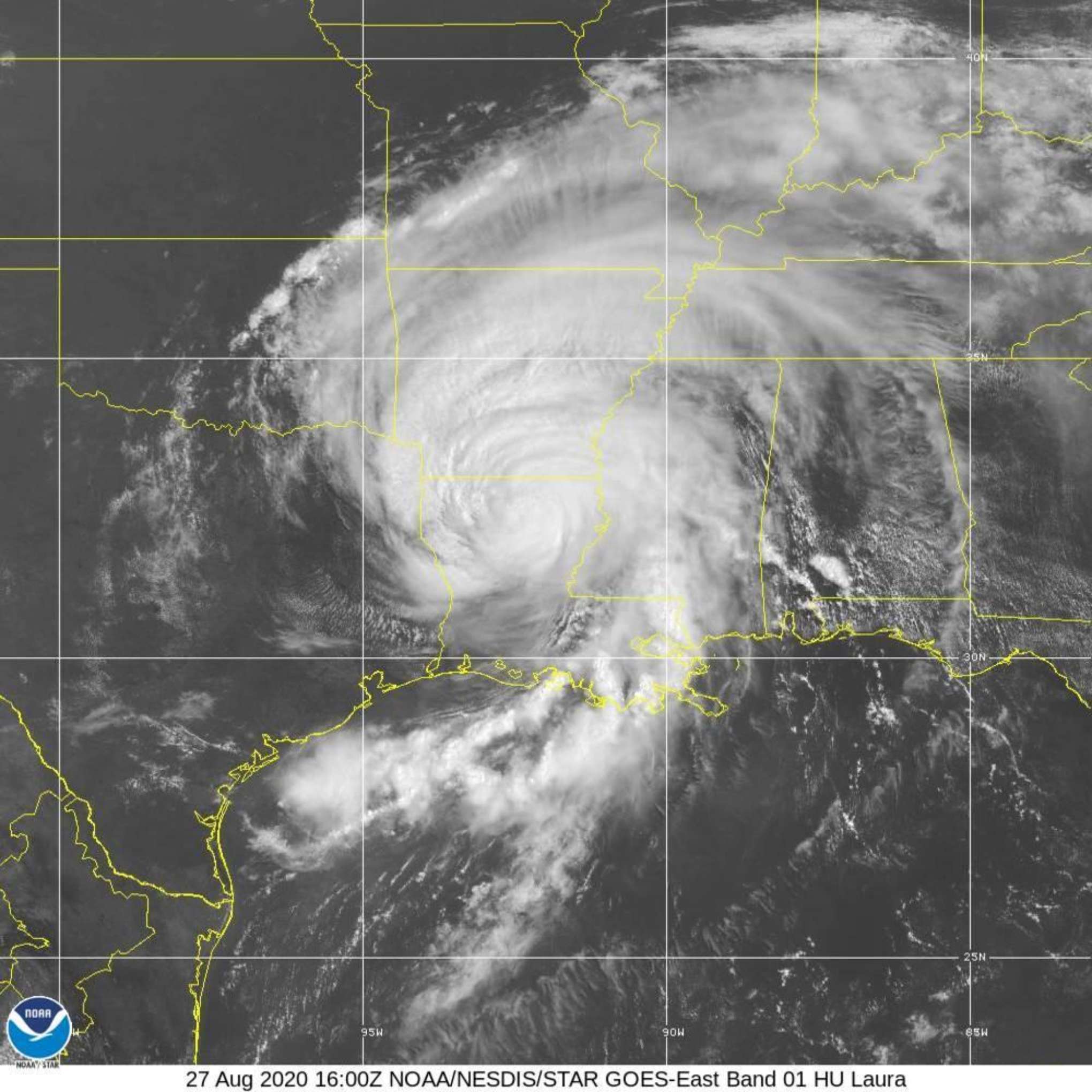
Hurricane Laura made landfall at 1am local time (7:30 UK) as a strong category 4 storm with sustained wind speeds of nearly 150mph near the town of Cameron, Louisiana about 35 miles east of the Texas border.
Nearby are Lake Charles, Galveston, Beaumont and Port Arthur an important oil refining centre and Lafayette - see map. Houston is 130 miles away.
Hurricane Rita (2005) took a similar path making landfall further west at Sabine Pass as a Category 3. Hurricane Ike took a similar path in 2008. These had industry insured losses of US$12bn and US$22bn respectively.
Property in Lake Charles which endured the brunt of the storm’s eyewall has been extensively damaged experiencing gusts of up to 133mph. Property such as the Town Hall and 22-storey Capital One Tower were badly damaged with some buildings having had their front elevations torn away. A chemical plant caught fire.
The US's storm forecasts which were reported in our Hurricane page were accurate as to timing and landfall. Laura's windspeeds intensified by 65mph during a 24-hour period - a near record - and the strongest to hit LA since 1856.
The maximum storm surge was 8.9 feet nearby. As a result many structures will have been flooded.
Laura's path over the Gulf of Mexico involved oil and gas platforms but affected a smaller region than Ike and hopefully the warnings of Laura's path will have enabled either closure or movement out of harm's way. There is LNG facility in Cameron however.
There will need to be a lengthy period of assessment before useful industry loss numbers are available. A large part of the storm surge and inland-flood damage will NOT be covered by the National Flood Insurance Program (NFIP) as according to Aon, take-up rates in the area are very low: roughly 80% of homes were still without a flood insurance policy based on 2019 data. The wind-driven damage however is covered by standard homeowner policies.
Laura does not appear to be a huge loss to the London market and early indications are that damage is less than feared, the track meant that Texas was largely spared and that the storm surge and rainfall were also less than feared. Therefore very early indications of the insured loss is $5bn to $10bn. This should make this for a manageable event.
Update - 31 August
AIR Worldwide, one of the leading catastrophe modellers for the reinsurance industry, published today (31 August) its report available here in full that its estimates for Hurricane Laura, will range from US$4bn to US$8bn. Their report contains the following excerpts:-
"Laura struck the Louisiana coast with sustained winds of nearly 150 mph (241 km/h), tying it with the 1856 Last Island hurricane in terms of the strongest recorded tropical cyclone to make landfall in Louisiana. Laura's rapid intensification over abnormally warm Gulf waters was similar to Hurricane Harvey (2017) and Hurricane Michael (2018), the other two most recent Category 4 or stronger storms to hit the U.S."
"Laura’s storm surge was not as severe as expected, as the storm tracked a bit east of the Calcasieu Ship Channel, a waterway that connects the town of Lake Charles with the Gulf of Mexico, and pushed less water forward."
"AIR expects the combination of Laura’s track through relatively lower populated areas and its Rmax [radius of maximum surface wind speed] on the smaller side to keep insured losses down somewhat, despite its major hurricane status at landfall."
"The vast majority of impacts were in Louisiana, as Hurricane Laura slammed the coastal town of Cameron, in Cameron Parish, and the town of Lake Charles, Calcasieu Parish, 30 miles from the coast, causing widespread destruction to buildings of all types."
Separately, Corelogic, a leading global property information, analytics and data-enabled solutions provider, reported estimated insured damage to be between US$8bn to US$12bn. Their report available here contains the following excerpts:-
"As Hurricane Laura approached the coast, the storm’s center struck a more sparsely populated area of the Louisiana and Texas coast. “There is never a good place for a hurricane to make landfall. But this was the best possible outcome because it spared the major population centers of Houston and New Orleans," said Curtis McDonald, meteorologist and senior product manager of CoreLogic."
"Hurricane Laura weakened as it moved over land, which safeguarded some metropolitan areas from the full impact of a landfalling Category 4 hurricane."
As Bloomberg pointed out "The storm mostly spared the region’s oil refineries and other energy infrastructure, muting its impact on global markets."
Neither of these industry forecasts includes offshore (Gulf of Mexico) oil and gas facilities. The RMS estimate below does - see below:
Update - 13 September
RMS on 3 September published estimates available here for the insured loss from hurricane Laura to be between US$8.5 to US$12bn in line with the Corelogic estimate.
Their report contains the following excerpts:-
RMS, the world’s leading catastrophe risk solutions company, estimates that total onshore U.S. insured losses from Hurricane Laura will be between US$9.0 and US$13.0 billion. The estimate includes losses to the National Flood Insurance Program (NFIP) of between US$400m and US$600m.
Onshore U.S. insured loss estimates for Hurricane Laura (US$ billions):
| Wind + Surge | Inland Flood | NFIP | Total |
| 8.5 – 12.0 | 0.1 – 0.4 | 0.4 – 0.6 | 9.0 – 13.0 |
“Although Laura avoided major metropolitan areas like Houston and New Orleans, it was still an extremely impactful U.S. event. After making landfall as a powerful Category 4 storm, it maintained its intensity as it moved inland, causing widespread wind and water-driven damage well into interior portions of Louisiana. The extent and severity of these damages has been verified by our development teams via web and aerial-based reconnaissance efforts”
"RMS estimates an additional US$1.0bn to US$2.0 billion of insured losses to offshore platforms, rigs, and pipelines in the Gulf of Mexico, due to wind and wave-driven damages. Offshore losses were estimated using the September 2020 vintage of the RMS Offshore Platform Industry Exposure Database.
“Offshore assets have evolved significantly since the impactful hurricanes of Katrina and Rita in 2005 and Ike in 2008, but there is still a prevalence of platforms, rigs, and pipelines in the Gulf region. Many of these assets, including several high-value deep-water platforms, were exposed to the significant wind and wave impacts from Hurricane Laura"